Hosting the BRICS Geospatial Technologies Meeting in Tehran
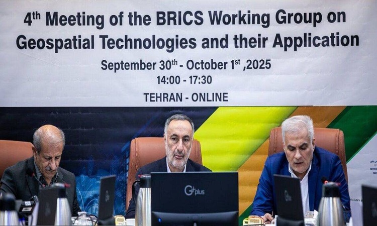
From September 30 to October 1, the fourth BRICS working group meeting on Geospatial Technologies was held online in Tehran, aiming to strengthen cooperation among BRICS members in this rapidly evolving field. The event, supported by prominent Iranian institutions such as the National Cartographic Center, the Space Research Institute, the Geological Survey & Mineral Exploration Organization, and leading universities including the University of Tehran and Khajeh Nasir University, reflects Iran’s strategic approach to data governance and the development of geospatial technologies.
Key BRICS countries, including Russia, China, India, Brazil, Indonesia, and South Africa, participated in the meeting, which can significantly enhance crisis management, sustainable development, and future planning. The first day focused on presenting national capacities and identifying new cooperation opportunities, while the second day was dedicated to exploring shared applications of geospatial data.
Geospatial technologies, including remote sensing, Geographic Information Systems (GIS), and Global Positioning Systems (GPS), are transforming numerous industries. When combined with artificial intelligence, deep learning, and big data analytics, these technologies are applied across environmental protection, agriculture, urban planning, communications, transportation, security, and military planning.
Iranian officials used the opportunity to present proposals regarding the BRICS Spatial Data Infrastructure (SDI) and emphasized that maps and geospatial data are key tools for sustainable community development, providing essential information for intelligent decision-making, effective planning, and economic growth.
Moreover, the Geological Survey & Mineral Exploration Organization leverages advanced remote sensing, mapping, and geoscience data analytics to act as a regional hub for mineral and data-driven projects. The organization continuously develops technological infrastructure and enhances scientific capabilities to increase the country’s international competitiveness.
The Tehran meeting continues the momentum of last year’s session in Moscow, demonstrating BRICS’s efforts to expand cooperation beyond economic spheres into science and technology. Iran, showcasing its advanced spatial data infrastructure and mineral capabilities, has signaled full readiness to participate in international projects, establish shared geospatial databases, and form specialized AI consortia.
Overall, Iran’s national geospatial and mineral data infrastructure serves as a central pillar for international collaboration, playing a key role in advancing joint technology projects and the intelligent utilization of spatial data.