
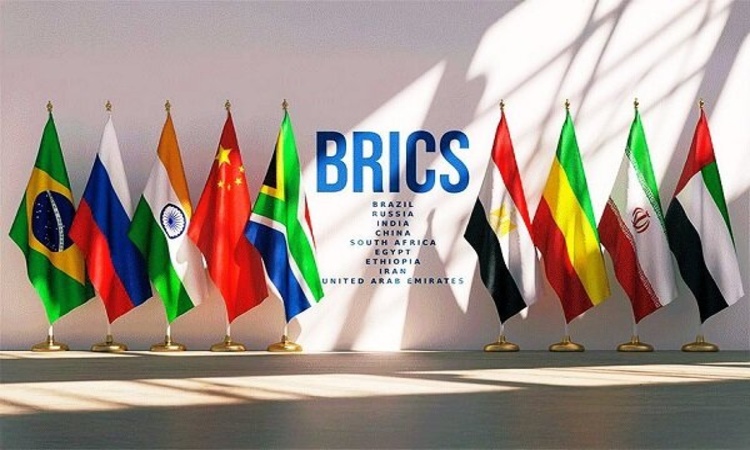
Drafting a BRICS Cooperation Document on Geospatial Information
According to Mehr News Agency, Dr. Ramin Papi, Director General for the Office of the President, Public Relations and International Affairs of the National Cartographic Center of Iran and the main coordinator of the BRICS Geospatial Information Working Group, stated on the sidelines of the group’s meeting held on October 8 at the Presidential Transformation and Progress Center that Iran joined the BRICS Geospatial Information Working Group for the first time last year.
He noted that during the first meeting of the working group, which was held in Russia, Iran presented its national achievements and capacities in the field of geospatial information.
Dr. Papi added that this year, the National Cartographic Center of Iran, in cooperation with the Presidential Center for Transformation and Progress, is hosting the BRICS Geospatial Information Working Group meeting, which is being held over two days in Iran.
He emphasized that the meeting focuses on reviewing the achievements and technologies of member countries in surveying and geospatial information, as well as discussing avenues for joint cooperation.
According to Dr. Papi, on the second day of the meeting, member states will present their proposals for future cooperation, and a cooperation document on surveying and geospatial information will be drafted to define the framework for collaboration within BRICS.
He also stressed that surveying is closely linked to information technology, and that the sharing, transfer, and management of geospatial data require strong cooperation among organizations and public participation.
The meeting was attended by representatives from Russia, China, Brazil, India, Indonesia, South Africa, Egypt, and Ethiopia, as well as Iranian institutions such as the Meteorological Organization, Geological Survey, Geographic Organization, Space Agency, and the University of Tehran and Khajeh Nasir Toosi University of Technology, highlighting the critical role of geospatial information in national and international development.